Arrondissement of Bruges
Arrondissements of West Flanders

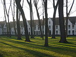
The Arrondissement of Bruges (Dutch: Arrondissement Brugge; French: Arrondissement de Bruges) is one of the eight administrative arrondissements in the Province of West Flanders, Belgium. It is both an administrative and a judicial arrondissement. However, the Judicial Arrondissement of Bruges also comprises the municipalities of the Arrondissement of Ostend, most of the Arrondissement of Tielt (except the municipalities of Meulebeke, Dentergem, Oostrozebeke and Wielsbeke), as well as the municipality of Lichtervelde (in the Arrondissement of Roeselare).
Excerpt from the Wikipedia article Arrondissement of Bruges (License: CC BY-SA 3.0, Authors, Images).Arrondissement of Bruges
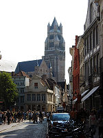
Sint-Baafsstraat, Bruges
Geographical coordinates (GPS) Address Nearby Places Show on map
Geographical coordinates (GPS)
| Latitude | Longitude |
|---|---|
| N 51.2 ° | E 3.2 ° |
Address
Residentie Vieux Bruges
Sint-Baafsstraat 37
8200 Bruges (Sint-Andries)
West Flanders, Belgium
Open on Google Maps


