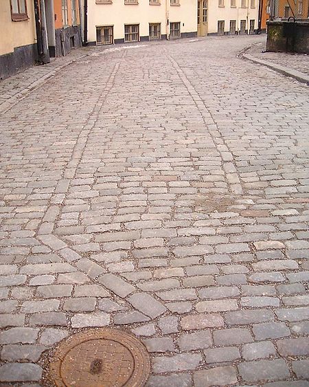
Tyska Stallplan
Squares in StockholmStockholm County geography stubs

Tyska Stallplan (Swedish: "German Stable Square" or literally "Plane") is a street in Gamla stan, the old town in central Stockholm, Sweden. Stretching south from Svartmangatan to Prästgatan, it is connected to Baggensgatan and Mårten Trotzigs Gränd, while forming a (somewhat) parallel street to Österlånggatan and Tyska Brinken. By the street are the public library and the major school (Storkyrkoskolan, "School of the Great Church" (e.g. Storkyrkan)) of the told town. While named a square, it undoubtedly remains a matter of taste and definition whether this elongated open space should be regarded as a street.
Excerpt from the Wikipedia article Tyska Stallplan (License: CC BY-SA 3.0, Authors, Images).Tyska Stallplan
Tyska Stallplan, Stockholm Gamla stan (Södermalms stadsdelsområde)
Geographical coordinates (GPS) Address External links Nearby Places Show on map
Geographical coordinates (GPS)
| Latitude | Longitude |
|---|---|
| N 59.323351 ° | E 18.072919 ° |
Address
Tyska Stallplan
Tyska Stallplan
111 31 Stockholm, Gamla stan (Södermalms stadsdelsområde)
Sweden
Open on Google Maps


