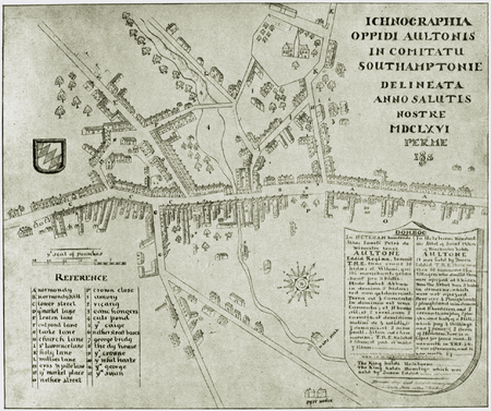
Battle of Alton

The Battle of Alton (also Storm of Alton), of the First English Civil War, took place on 13 December 1643 in the town of Alton, Hampshire, England. There, Parliamentary forces serving under Sir William Waller led a successful surprise attack on a winter garrison of Royalist infantry and cavalry serving under the Earl of Crawford. The Battle of Alton was the first decisive defeat of Sir Ralph Hopton, leader of Royalist forces in the south, and the event had a significant psychological effect on him as commander. More important to Hopton was the loss of men, however, as he was already short-handed in much-needed infantry. The successful Parliamentarians were able, after their victory, to attack and successfully besiege Arundel, a larger and more formidable Royalist outpost to the south-east of Alton.At dawn on the 13th, as Waller's army approached Alton, Crawford fled with the cavalry to Winchester, leaving Colonel Richardus Boles to defend Alton with only the infantry. Outnumbered and overpowered, Boles's men were soon forced to seek refuge in the Church of St Lawrence, where they made a desperate last stand. Boles was killed, along with most of his remaining men. The Parliamentarians won a clear victory, losing only a few men and taking many prisoners.Boles's fight is also notable for its demonstrated drama and heroism. Stories boast that Boles killed a number of his enemies before falling himself. The battle of Alton is known as one of the "most savage encounters" of the English Civil War. Musket holes from the fight can still be seen in the south door to the church and inside, where so many cornered men were killed and captured. The Battle of Alton was also the first battle in the English Civil War to use leather guns, employed effectively by Waller before and during the battle proper.
Excerpt from the Wikipedia article Battle of Alton (License: CC BY-SA 3.0, Authors, Images).Battle of Alton
Church Street, East Hampshire
Geographical coordinates (GPS) Address Phone number Website Nearby Places Show on map
Geographical coordinates (GPS)
| Latitude | Longitude |
|---|---|
| N 51.151111111111 ° | E -0.97583333333333 ° |
Address
Saint Lawrence Church
Church Street
GU34 2BW East Hampshire
England, United Kingdom
Open on Google Maps


