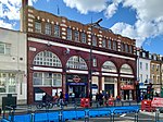
Camden Town
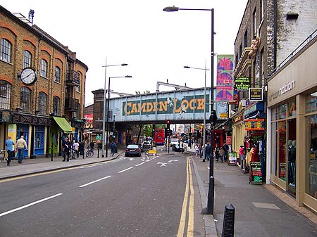
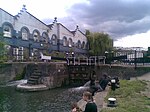
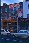
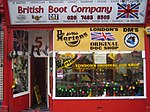
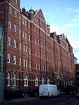
Camden Town ( (listen)), often shortened to Camden, is a district of northwest London, England, 2.5 miles (4.1 km) north of Charing Cross. Historically in Middlesex, it is the administrative centre of the London Borough of Camden, and identified in the London Plan as one of 34 major centres in Greater London. Laid out as a residential district from 1791 and originally part of the manor of Kentish Town and the parish of St Pancras, Camden Town became an important location during the early development of the railways, which reinforced its position on the London canal network. The area's industrial economic base has been replaced by service industries such as retail, tourism and entertainment. The area now hosts street markets and music venues that are strongly associated with alternative culture.
Excerpt from the Wikipedia article Camden Town (License: CC BY-SA 3.0, Authors, Images).Camden Town
Hawley Crescent, London Chalk Farm (London Borough of Camden)
Geographical coordinates (GPS) Address Website Nearby Places Show on map
Geographical coordinates (GPS)
| Latitude | Longitude |
|---|---|
| N 51.541 ° | E -0.1433 ° |
Address
The Open University
Hawley Crescent 1 - 11
NW1 8NP London, Chalk Farm (London Borough of Camden)
England, United Kingdom
Open on Google Maps

