Upperton, West Sussex

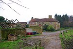
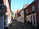
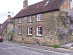
Upperton is a hamlet in the Chichester district of West Sussex, England. Part of Tillington civil parish it lies on the Tillington to Lurgashall road 1.4 miles (2.2 km) northwest of Petworth. Upperton stands on a ridge of the lower greensand overlooking the Rother Valley, separated from Tillington by the cricket ground and a field. The stone wall of Petworth deerpark bounds the village on the eastern side, with a gate by the house at the southern end giving access to the public. To the west a number of public footpaths through fields, a vineyard and Upperton Common lead to the scenic Pitshill Park. The Serpent Trail hiking trail passes through the village from Pitshill Park to Tillington.
Excerpt from the Wikipedia article Upperton, West Sussex (License: CC BY-SA 3.0, Authors, Images).Upperton, West Sussex
Upperton Road, Chichester Tillington
Geographical coordinates (GPS) Address Nearby Places Show on map
Geographical coordinates (GPS)
| Latitude | Longitude |
|---|---|
| N 50.996 ° | E -0.6371 ° |
Address
Upperton Road
Upperton Road
GU28 9BG Chichester, Tillington
England, United Kingdom
Open on Google Maps


