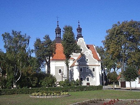
Pogorzela, Greater Poland Voivodeship
Cities and towns in Greater Poland VoivodeshipGostyń County

Pogorzela [pɔɡɔˈʐɛla] is a town in Gostyń County, Greater Poland Voivodeship, Poland, with 2,037 inhabitants (as of 2010). Pogorzela is located on the western edge of the Kalisz Upland, at the junction of county roads Krotoszyn-Gostyń and the Koźmin Wielkopolski-Krobia.
Excerpt from the Wikipedia article Pogorzela, Greater Poland Voivodeship (License: CC BY-SA 3.0, Authors, Images).Pogorzela, Greater Poland Voivodeship
Krotoszyńska, gmina Pogorzela
Geographical coordinates (GPS) Address Nearby Places Show on map
Geographical coordinates (GPS)
| Latitude | Longitude |
|---|---|
| N 51.820833333333 ° | E 17.234722222222 ° |
Address
Krotoszyńska 17
63-860 gmina Pogorzela
Greater Poland Voivodeship, Poland
Open on Google Maps