Tech (river)
Coastal basins of the Mediterranean Sea in FranceCommons category link is locally definedCéretFrance river stubsPages including recorded pronunciations ... and 5 more
Pages with Catalan IPAPages with French IPARivers of FranceRivers of Occitania (administrative region)Rivers of Pyrénées-Orientales

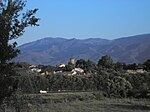
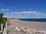
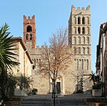
The Tech (French: [tɛk] ; Catalan: Tec [ˈtɛk]) is a river in southern France, very close to the French-Spanish border. It runs through a valley in the Pyrénées-Orientales, in the former Roussillon, and is 84.5 kilometres (52.5 mi) long. Its source is the Parcigoule Valley, elevation 2,500 metres (8,200 ft), and it feeds the Mediterranean Sea. At Céret, the medieval Devil's bridge, once the largest bridge arch in the world, spans the river in an arc of 45 metres (148 ft) in length.
Excerpt from the Wikipedia article Tech (river) (License: CC BY-SA 3.0, Authors, Images).Tech (river)
Route du Bocal du Tech, Céret
Geographical coordinates (GPS) Address Nearby Places Show on map
Geographical coordinates (GPS)
| Latitude | Longitude |
|---|---|
| N 42.59 ° | E 3.0452777777778 ° |
Address
Route du Bocal du Tech
66750 Céret
Occitania, France
Open on Google Maps


