Haberfield, New South Wales

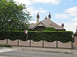
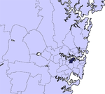
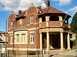
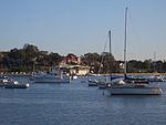
Haberfield is a suburb in the Inner West of Sydney, in the state of New South Wales, Australia. Haberfield is located 6.5 kilometres west of the Sydney central business district in the local government area of the Inner West Council. Haberfield sits south of Iron Cove, which is part of Sydney Harbour. It is bounded to the east by the Hawthorne Canal, to the northwest by the Iron Cove Creek canal and to the southwest by Parramatta Road. Its main road is Ramsay Street and the point of land that faces Iron Cove, Dobroyd Point, is a historical locality of Sydney. Haberfield was dubbed "the garden suburb" in the early 20th century and retains its well-kept parks, tree-lined streets and fine Federation-era houses with immaculate gardens. The entire suburb is heritage-listed. It is also known for its Italian culture.
Excerpt from the Wikipedia article Haberfield, New South Wales (License: CC BY-SA 3.0, Authors, Images).Haberfield, New South Wales
Ramsay Street, Sydney Haberfield
Geographical coordinates (GPS) Address Nearby Places Show on map
Geographical coordinates (GPS)
| Latitude | Longitude |
|---|---|
| N -33.8833 ° | E 151.1416 ° |
Address
Ramsay Street 57
2045 Sydney, Haberfield
New South Wales, Australia
Open on Google Maps


