Col de la Ramaz
Auvergne-Rhône-Alpes geography stubsMountain passes of Auvergne-Rhône-AlpesMountain passes of the Alps

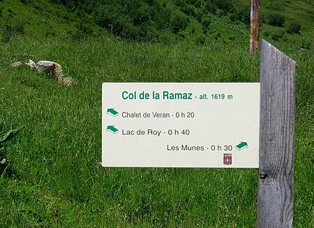
Col de la Ramaz (pronounced with a silent z "Ramá") (elevation 1559 m.) is a high mountain pass in the Alps in the department of Haute-Savoie in France through which the Tour de France passed during 2003, 2010, 2016 and the 2023 race). The road through the pass culminates slightly higher, at 1619m (5312 feet).
Excerpt from the Wikipedia article Col de la Ramaz (License: CC BY-SA 3.0, Authors, Images).Col de la Ramaz
Route du Col de la Ramaz, Bonneville
Geographical coordinates (GPS) Address Nearby Places Show on map
Geographical coordinates (GPS)
| Latitude | Longitude |
|---|---|
| N 46.163333333333 ° | E 6.5747222222222 ° |
Address
Route du Col de la Ramaz
Route du Col de la Ramaz
74440 Bonneville
Auvergne-Rhône-Alpes, France
Open on Google Maps


