Isère
1790 establishments in FranceDepartments of Auvergne-Rhône-AlpesIsèrePages including recorded pronunciationsPages with French IPA ... and 3 more
Pages with Occitan IPAPages with disabled graphsStates and territories established in 1790

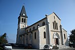
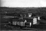
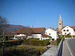
Isère (US: ee-ZAIR, French: [izɛʁ] ; Arpitan: Isera; Occitan: Isèra, Occitan pronunciation: [iˈsɛɾa]) is a landlocked department in the southeastern French region of Auvergne-Rhône-Alpes. Named after the river Isère, it had a population of 1,271,166 in 2019. Its prefecture is Grenoble. It borders Rhône to the northwest, Ain to the north, Savoie to the east, Hautes-Alpes to the south, Drôme and Ardèche to the southwest and Loire to the west.
Excerpt from the Wikipedia article Isère (License: CC BY-SA 3.0, Authors, Images).Isère
Avinguda de Sofia,
Geographical coordinates (GPS) Address Nearby Places Show on map
Geographical coordinates (GPS)
| Latitude | Longitude |
|---|---|
| N 45.333333333333 ° | E 5.5 ° |
Address
Avinguda de Sofia 2
08870
Cataluña, España
Open on Google Maps


