Frog Island, Leicester
Areas of LeicesterLeicesterPages with ISBN errorsUse British English from September 2013

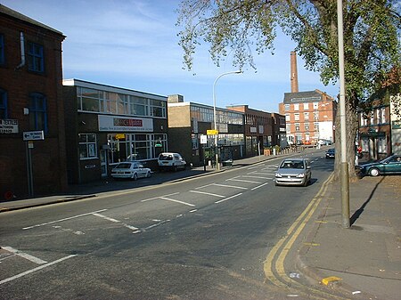
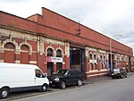
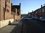
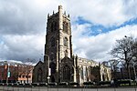
Frog Island is an inner city area of Leicester, England, so named because it lies between the River Soar and the Soar Navigation (a continuation of the original Grand Union Canal). Frog Island is adjacent to the Woodgate area to the north, and Northgates to the South. The population of the island was at the 2011 census in the Abbey ward of Leicester City Council.
Excerpt from the Wikipedia article Frog Island, Leicester (License: CC BY-SA 3.0, Authors, Images).Frog Island, Leicester
Slater Street, Leicester West End
Geographical coordinates (GPS) Address Nearby Places Show on map
Geographical coordinates (GPS)
| Latitude | Longitude |
|---|---|
| N 52.642 ° | E -1.143 ° |
Address
Slater Street
Slater Street
LE3 5AS Leicester, West End
England, United Kingdom
Open on Google Maps


