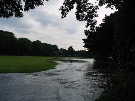
Victoria Park, Plymouth
Geography of Plymouth, DevonParks and open spaces in DevonUrban public parks

Victoria Park is a park in Millbridge, Plymouth, England. It extends at the eastern end from the bowling green beneath what was once a railway viaduct to what is now the merging of Molesworth Road and Eldad Hill, and which once was a toll bridge, and an important thoroughfare between Devonport and Plymouth.
Excerpt from the Wikipedia article Victoria Park, Plymouth (License: CC BY-SA 3.0, Authors, Images).Victoria Park, Plymouth
Wantage Gardens, Plymouth Stonehouse
Geographical coordinates (GPS) Address Nearby Places Show on map
Geographical coordinates (GPS)
| Latitude | Longitude |
|---|---|
| N 50.374919444444 ° | E -4.1556805555556 ° |
Address
Wantage Gardens
PL1 5DN Plymouth, Stonehouse
England, United Kingdom
Open on Google Maps


