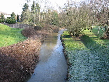
River Ingrebourne
Geography of the London Borough of HaveringParks and open spaces in the London Borough of HaveringRivers of LondonThames drainage basinUse British English from September 2017

The River Ingrebourne is a tributary of the River Thames 27 miles (43.3 km) in length. It is considered a strategic waterway in London, forming part of the Blue Ribbon Network. It flows through the London Borough of Havering roughly from north to south, joining the Thames at Rainham.
Excerpt from the Wikipedia article River Ingrebourne (License: CC BY-SA 3.0, Authors, Images).River Ingrebourne
The Fairway, London Cranham (London Borough of Havering)
Geographical coordinates (GPS) Address Nearby Places Show on map
Geographical coordinates (GPS)
| Latitude | Longitude |
|---|---|
| N 51.56901 ° | E 0.24857 ° |
Address
Upminster Golf and Bowling Club
The Fairway
RM14 1BS London, Cranham (London Borough of Havering)
England, United Kingdom
Open on Google Maps


