River Tillingbourne
Rivers of SurreyWey catchment

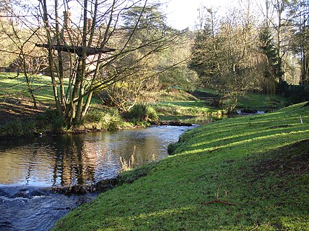
The River Tillingbourne (also known as the Tilling Bourne) runs along the south side of the North Downs and joins the River Wey at Guildford. Its source is a mile south of Tilling Springs to the north of Leith Hill at grid reference TQ143437 and it runs through Friday Street, Abinger Hammer, Gomshall, Shere, Albury, Chilworth and Shalford. The source is a semi-natural uninhabited area. The catchment is situated on sandstone which has a low rate of weathering. The Tillingbourne is 24 km (15 mi) in length.
Excerpt from the Wikipedia article River Tillingbourne (License: CC BY-SA 3.0, Authors, Images).River Tillingbourne
FP 61,
Geographical coordinates (GPS) Address Nearby Places Show on map
Geographical coordinates (GPS)
| Latitude | Longitude |
|---|---|
| N 51.2171 ° | E -0.54984 ° |
Address
Pillbox
FP 61
GU4 8AS
England, United Kingdom
Open on Google Maps


