Scholes, Cleckheaton
CleckheatonHeavy Woollen DistrictUse British English from June 2020Villages in West Yorkshire

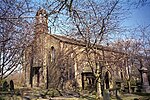
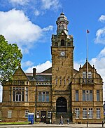
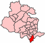
Scholes is a village near Cleckheaton, West Yorkshire, England. The village is 5 miles (8 km) south of Bradford between Wyke and Cleckheaton near to the M62 motorway. The village was originally known as "Scales" and was a hamlet in the township of Cleckheaton. In the 18th century the most prominent industry in the village was "card making" (combing cotton or linen.). Later on a Coal mine opened in the area but that closed early in the 20th century.
Excerpt from the Wikipedia article Scholes, Cleckheaton (License: CC BY-SA 3.0, Authors, Images).Scholes, Cleckheaton
Whitechapel Road, Kirklees
Geographical coordinates (GPS) Address Nearby Places Show on map
Geographical coordinates (GPS)
| Latitude | Longitude |
|---|---|
| N 53.73 ° | E -1.744 ° |
Address
Whitechapel Road
Whitechapel Road
BD19 6HH Kirklees
England, United Kingdom
Open on Google Maps


