Hartshead Moor Top
Villages in West YorkshireWest Yorkshire geography stubs

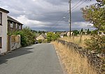
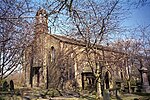
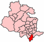
Hartshead Moor Top is a hamlet in the county of West Yorkshire, England, halfway between Brighouse and Cleckheaton on the A643. It is close to the Hartshead Moor services on the M62 motorway. In 1974 the service station was near the scene of a Provisional Irish Republican Army attack on a coach carrying soldiers and their children, killing twelve. There is a plaque in the entrance to the west-bound section commemorating those who died.
Excerpt from the Wikipedia article Hartshead Moor Top (License: CC BY-SA 3.0, Authors, Images).Hartshead Moor Top
Halifax Road, Kirklees
Geographical coordinates (GPS) Address Nearby Places Show on map
Geographical coordinates (GPS)
| Latitude | Longitude |
|---|---|
| N 53.7203 ° | E -1.7485 ° |
Address
Halifax Road
Halifax Road
BD19 6PE Kirklees
England, United Kingdom
Open on Google Maps


