City of Kalamunda
1897 establishments in AustraliaCity of KalamundaLocal government areas of the Perth region of Western AustraliaPopulated places established in 1897Use Australian English from April 2017

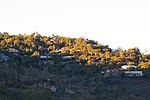
The City of Kalamunda is a local government area in the eastern metropolitan region of the Western Australian capital city of Perth about 25 kilometres (16 mi) east of Perth's central business district. The area covers 324 square kilometres (125 sq mi), much of which is state forest rising into the Darling Scarp to the east. In the mid 2010s, the area had a population of 57 thousand people.
Excerpt from the Wikipedia article City of Kalamunda (License: CC BY-SA 3.0, Authors, Images).City of Kalamunda
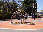
Central Road, City Of Kalamunda
Geographical coordinates (GPS) Address Nearby Places Show on map
Geographical coordinates (GPS)
| Latitude | Longitude |
|---|---|
| N -31.974 ° | E 116.058 ° |
Address
Central Road
6076 City Of Kalamunda, Kalamunda
Western Australia, Australia
Open on Google Maps


