Brno-Žabovřesky
BrnoCadastral territories in BrnoCity districts of BrnoNeighbourhoods in the Czech Republic

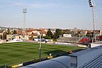
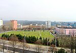
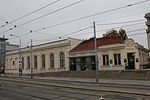
Brno-Žabovřesky (German: Sebrowitz,) is a city district of the city of Brno in the Czech Republic. The current city district was established on 24 November 1990. It is entirely made up of the municipal part and cadastral territory of Žabovřesky, a former town that was annexed into Brno in 1919. Over 21,000 people live here on an area of 4.35 km². Žabovřesky is located on the left bank of the Svratka. The forest park Wilsonův les (Lit. 'Wilson's forest') is located in the south, while the forest park Palackého vrch is located in the northern part.
Excerpt from the Wikipedia article Brno-Žabovřesky (License: CC BY-SA 3.0, Authors, Images).Brno-Žabovřesky
Horova, Brno Žabovřesky
Geographical coordinates (GPS) Address Nearby Places Show on map
Geographical coordinates (GPS)
| Latitude | Longitude |
|---|---|
| N 49.214444444444 ° | E 16.575277777778 ° |
Address
Horova 2200/28b
616 00 Brno, Žabovřesky
Czechia
Open on Google Maps


