Horvat Mazad
Classical sites in IsraelEstablishments in the Hasmonean KingdomForts in IsraelRoman sites in Israel

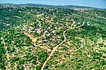
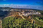
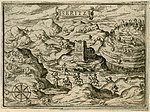
Horvat Mazad (Hebrew: חורבת מצד; also known as Khirbet el-Qasr, 'the citadel' in Arabic) is an archaeological site in Israel, located on a strategic hill rising to a height of 530 m above sea level, overlooking the road from Emmaus to Jerusalem. Excavations conducted at the site between 1977 and 1980 revealed a long settlement sequence dating back from the Late Bronze Age to the Mamluk and Ottoman periods.
Excerpt from the Wikipedia article Horvat Mazad (License: CC BY-SA 3.0, Authors, Images).Horvat Mazad
Jerusalem Tel-Aviv Highway, Mate Yehuda Regional Council
Geographical coordinates (GPS) Address External links Nearby Places Show on map
Geographical coordinates (GPS)
| Latitude | Longitude |
|---|---|
| N 31.816388888889 ° | E 35.054166666667 ° |
Address
חורבת מצד
Jerusalem Tel-Aviv Highway
Mate Yehuda Regional Council
Jerusalem District, Israel
Open on Google Maps


