Hamlet of La Houillère
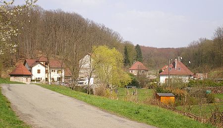
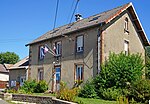
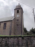
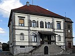
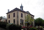
The hamlet of La Houillère is located in the French communes of Ronchamp and Champagney, in the heart of the mining region, in the Haute-Saône département of the Bourgogne-Franche-Comté region. It was created after the discovery of the Ronchamp coal mines and became the center of mining operations from the second half of the 18th century to the first half of the 19th century. It was designed to be independent of neighboring villages. The hamlet quickly lost interest in the course of the 19th century, as mining operations moved further and further south of the coalfield. Despite this, certain company buildings such as the infirmary, stable and château de la Houillère continued to operate until the mines closed in 1958. At the beginning of the 21st century, few traces of the mining installations remain, but the hamlet is still inhabited. All eight workers' houses are listed in the general inventory of cultural heritage as the "cité ouvrière de la Houillère" (Houillère working-class housing estate).
Excerpt from the Wikipedia article Hamlet of La Houillère (License: CC BY-SA 3.0, Authors, Images).Hamlet of La Houillère
Lure
Geographical coordinates (GPS) Address Nearby Places Show on map
Geographical coordinates (GPS)
| Latitude | Longitude |
|---|---|
| N 47.543055555556 ° | E 6.6552777777778 ° |
Address
70400 Lure
Bourgogne-Franche-Comté, France
Open on Google Maps
