Stainland and District
Civil parishes in West YorkshireGeography of CalderdaleUse British English from July 2023West Yorkshire geography stubs

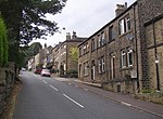
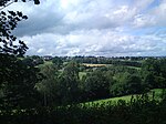
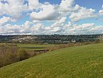
Stainland and District is a civil parish in the Metropolitan Borough of Calderdale in West Yorkshire, England. The main settlements in the parish are Stainland, Holywell Green and Sowood. Other settlements include Jagger Green, Old Lindley and Sowood Green. The parish also covers part of Outlane.
Excerpt from the Wikipedia article Stainland and District (License: CC BY-SA 3.0, Authors, Images).Stainland and District
Jagger Green Dean, Calderdale Stainland & District
Geographical coordinates (GPS) Address Nearby Places Show on map
Geographical coordinates (GPS)
| Latitude | Longitude |
|---|---|
| N 53.666666666667 ° | E -1.8666666666667 ° |
Address
Jagger Green Dean
Jagger Green Dean
HX4 9DQ Calderdale, Stainland & District
England, United Kingdom
Open on Google Maps


