Žďárské vrchy
Europe mountain stubsMountain ranges of the Czech Republic

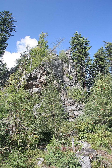
Žďárské vrchy (German: Saarer Bergland) is a mountain range in the Czech Republic. It is located in the northwest part of Upper Svratka Highlands which is part of Bohemian-Moravian Highlands and has an area of 485.78 km2. The highest peak of Žďárké vrchy is Devět skal (836 m). Other significant peaks are Křovina (829,7 m), Křivý javor (823,5 m), Kopeček (821,7 m) or Pasecká skála (818,6 m).Žďárské vrchy is a source of the Sázava and Svratka rivers. The forest cover comprises mostly spruces, mixed by beeches, firs, larches and pines.
Excerpt from the Wikipedia article Žďárské vrchy (License: CC BY-SA 3.0, Authors, Images).Žďárské vrchy
35317, okres Žďár nad Sázavou
Geographical coordinates (GPS) Address Nearby Places Show on map
Geographical coordinates (GPS)
| Latitude | Longitude |
|---|---|
| N 49.670556 ° | E 16.032222 ° |
Address
Devět skal
35317
592 01 okres Žďár nad Sázavou, Herálec na Moravě
Southeast, Czechia
Open on Google Maps


