Puyallup River
Mount RainierPuyallup, WashingtonPuyallup Indian ReservationPuyallup RiverRivers of Pierce County, Washington ... and 1 more
Rivers of Washington (state)

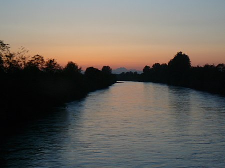
The Puyallup River ( pew-AL-əp) is a river in the U.S. state of Washington. About 45 miles (72 km) long, it is formed by glaciers on the west side of Mount Rainier. It flows generally northwest, emptying into Commencement Bay, part of Puget Sound. The river and its tributaries drain an area of about 948 square miles (2,460 km2) in Pierce County and southern King County.The river's watershed is the youngest in the Puget Sound region, having been formed from a series of lahars starting about 5,600 years ago. The valley's 150,000 residents are at risk from future lahars. For this reason, the United States Geological Survey has installed a lahar warning system.
Excerpt from the Wikipedia article Puyallup River (License: CC BY-SA 3.0, Authors, Images).Puyallup River
East Portland Avenue, Tacoma
Geographical coordinates (GPS) Address Nearby Places Show on map
Geographical coordinates (GPS)
| Latitude | Longitude |
|---|---|
| N 47.269444444444 ° | E -122.42833333333 ° |
Address
Westrock
East Portland Avenue
98421 Tacoma
Washington, United States
Open on Google Maps


