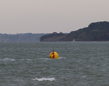
Yarmouth Roads Wreck
Individual ship or boat stubsProtected Wrecks of England

The remains of a late sixteenth or early seventeenth century carrack was discovered in Yarmouth Roads, Isle of Wight, England in 1984. The site was designated under the Protection of Wrecks Act on 9 April 1984. The wreck is a Protected Wreck managed by Historic England.
Excerpt from the Wikipedia article Yarmouth Roads Wreck (License: CC BY-SA 3.0, Authors, Images).Yarmouth Roads Wreck
High Street,
Geographical coordinates (GPS) Address Nearby Places Show on map
Geographical coordinates (GPS)
| Latitude | Longitude |
|---|---|
| N 50.7092 ° | E -1.4947 ° |
Address
High Street
PO41 0PY
England, United Kingdom
Open on Google Maps


