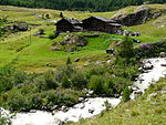
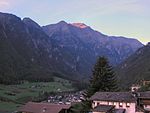
Kastelbell-Tschars
Municipalities of South TyrolPages with German IPAPages with Italian IPA

Kastelbell-Tschars (German: [ˌkastl̩ˈbɛl ˈtʃaːɐ̯s]; Italian: Castelbello-Ciardes [kaˌstɛlˈbɛllo ˈtʃardes]) is a comune (municipality) in South Tyrol in northern Italy, located about 40 kilometres (25 mi) northwest of Bolzano.
Excerpt from the Wikipedia article Kastelbell-Tschars (License: CC BY-SA 3.0, Authors, Images).Kastelbell-Tschars
Trumsberger Weg - Via Montetrumes, Kastelbell-Tschars - Castelbello-Ciardes
Geographical coordinates (GPS) Address Nearby Places Show on map
Geographical coordinates (GPS)
| Latitude | Longitude |
|---|---|
| N 46.633333333333 ° | E 10.9 ° |
Address
Trumsberger Weg - Via Montetrumes
Trumsberger Weg - Via Montetrumes
39020 Kastelbell-Tschars - Castelbello-Ciardes
Trentino-Alto Adige/Südtirol, Italy
Open on Google Maps


