place

Metacomet-Monadnock Trail
Hiking trails in MassachusettsHiking trails in New HampshireLong-distance trails in the United StatesMetacomet Ridge, MassachusettsNational Recreation Trails in Massachusetts
National Recreation Trails in New HampshireProtected areas of Cheshire County, New HampshireProtected areas of Franklin County, MassachusettsProtected areas of Hampden County, MassachusettsProtected areas of Hampshire County, MassachusettsProtected areas of Worcester County, Massachusetts
Mount Tom Massachusetts

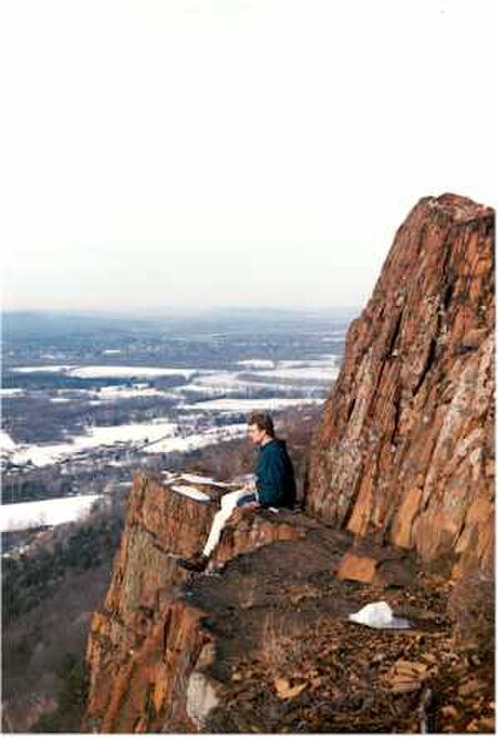
The Metacomet-Monadnock Trail (M&M Trail) is a 114-mile-long (183 km) hiking trail that traverses the Metacomet Ridge of the Pioneer Valley region of Massachusetts and the central uplands of Massachusetts and southern New Hampshire. Although less than 70 miles (110 km) from Boston and other large population centers, the trail is considered remarkably rural and scenic and includes many areas of unique ecologic, historic, and geologic interest. Notable features include waterfalls, dramatic cliff faces, exposed mountain summits, woodlands, swamps, lakes, river floodplain, farmland, significant historic sites, and the summits of Mount Monadnock, Mount Tom and Mount Holyoke. The Metacomet-Monadnock Trail is maintained largely through the efforts of the Western Massachusetts Chapter of the Appalachian Mountain Club (AMC). Much of the trail (but not all) is a portion of the New England National Scenic Trail.

Excerpt from the Wikipedia article Metacomet-Monadnock Trail (License: CC BY-SA 3.0, Authors, Images).

Metacomet-Monadnock Trail
Laurel Drive,

Geographical coordinates (GPS) Address Nearby Places
placeShow on map

Wikipedia: Metacomet-Monadnock TrailContinue reading on Wikipedia

Geographical coordinates (GPS)

Latitude Longitude
N 42.55 ° E -72.45 °
placeShow on map

Address

Laurel Drive

Laurel Drive
01351
Massachusetts, United States
mapOpen on Google Maps

Mount Tom Massachusetts
Share experience

Nearby Places

North Leverett, Massachusetts

North Leverett is a historic mill village of Leverett, Massachusetts. Centered on the intersection of North Leverett Road with Chestnut Hill Road and Cave Hill Road it includes predominantly residential buildings that were built during the height of the area's industrial activity between the 1770s and mid-19th century. The architecture is mainly Federal and Greek Revival in style, including the 1832 North Leverett Baptist Church. The Slarrow Mill is the only remaining component of the village's industrial past. The village was listed as a historic district on the National Register of Historic Places in 2014.The town of Leverett was first settled in the mid-18th century, and was incorporated (by separation from Sunderland) in 1774. North Leverett was the site of an early inn (no longer standing) operated by Richard Montague, one of the first settlers. The soil in Leverett was too poor to support market-based agriculture, and the Sawmill River was seen as a good source of water power for industrial use. Joseph Slarrow, another early settler, purchased land on the river in North Leverett, and established the sawmill that still stands today. By the mid-19th century, the village was the most substantial industrial center in the entire town, producing lumber, shingles, and scythes. Industry declined in the early 20th century, and now only archaeological remains and the Slarrow mill survive as a reminder of that activity.