Hung Tso Tin Tsuen
Hong Kong geography stubsShap Pat HeungVillages in Yuen Long District, Hong Kong

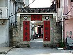
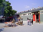
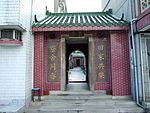
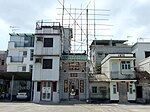
Hung Tso Tin Tsuen (Chinese: 紅棗田村) is a village in the Shap Pat Heung area of Yuen Long District, Hong Kong.
Excerpt from the Wikipedia article Hung Tso Tin Tsuen (License: CC BY-SA 3.0, Authors, Images).Hung Tso Tin Tsuen
Yuen Long District
Geographical coordinates (GPS) Address Nearby Places Show on map
 Continue reading on Wikipedia
 Geographical coordinates (GPS)
| Latitude | Longitude |
|---|---|
| N 22.424911 ° | E 114.030526 ° |
Address
Yuen Long District
Hong Kong, China
Open on Google Maps