Dovehouse Street

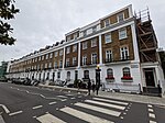
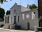
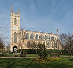
Dovehouse Street is a street in Chelsea, London. It runs roughly north to south from Fulham Road to King's Road, having junctions with Cale Street and Britten Street, among others. The National Heart and Lung Institute (NHLI), part of Imperial College London in the Guy Scadding Building is on the corner with Cale Street.Auriens, a luxury retirement complex overlooking Dovehouse Green, was built on the site of what was the London Borough of Kensington and Chelsea's only local authority care home.The Chelsea Hospital for Women was at the top end of the street, but closed in 1988 and the buildings became the Chelsea wing of the Royal Brompton Hospital. At the southern end, with Dovehouse Green and King's Road lies one of two possible locations for King's Road Chelsea railway station, a proposed station on Crossrail 2, a planned underground railway line.
Excerpt from the Wikipedia article Dovehouse Street (License: CC BY-SA 3.0, Authors, Images).Dovehouse Street
Dovehouse Street, London Chelsea (Royal Borough of Kensington and Chelsea)
Geographical coordinates (GPS) Address Nearby Places Show on map
Geographical coordinates (GPS)
| Latitude | Longitude |
|---|---|
| N 51.48884 ° | E -0.1714 ° |
Address
Chelsea Wing
Dovehouse Street
SW3 6JY London, Chelsea (Royal Borough of Kensington and Chelsea)
England, United Kingdom
Open on Google Maps


