The Marshes Local Nature Reserve
Local Nature Reserves in BerkshireSwallowfield

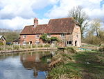
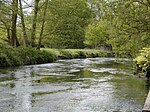
The Marshes is a 2.2-hectare (5.4-acre) Local Nature Reserve south of Swallowfield in Berkshire. It is owned and managed by Swallowfield Parish Council.The main part of this site is a former horse paddock which was planted with 1400 native shrubs and trees between 2004 and 2008. A pond and boardwalk were constructed in a small area of wet woodland.There is access from School Road.
Excerpt from the Wikipedia article The Marshes Local Nature Reserve (License: CC BY-SA 3.0, Authors, Images).The Marshes Local Nature Reserve
The Devils Highway,
Geographical coordinates (GPS) Address Nearby Places Show on map
Geographical coordinates (GPS)
| Latitude | Longitude |
|---|---|
| N 51.364 ° | E -0.947 ° |
Address
The Devils Highway (The Devil's Highway)
The Devils Highway
RG7 1XR , Swallowfield
England, United Kingdom
Open on Google Maps


