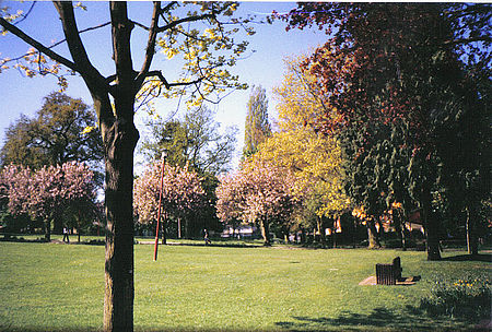
Neithrop
All pages needing cleanupBanburyEngvarB from July 2016Housing estates in OxfordshireWikipedia introduction cleanup from August 2016

Neithrop is an inner housing estate and part of the greater 'Neithrop ward' of Banbury, Oxfordshire, England. It is one of the oldest areas in Banbury, having first been first recorded as a hamlet in the 13th century. Neithrop, Woodgreen and Bretch Hill are three interconnecting housing estates.
Excerpt from the Wikipedia article Neithrop (License: CC BY-SA 3.0, Authors, Images).Neithrop
Edmunds Road, Cherwell District Neithrop
Geographical coordinates (GPS) Address Nearby Places Show on map
Geographical coordinates (GPS)
| Latitude | Longitude |
|---|---|
| N 52.06025 ° | E -1.36256 ° |
Address
Edmunds Road
Edmunds Road
OX16 0PZ Cherwell District, Neithrop
England, United Kingdom
Open on Google Maps


