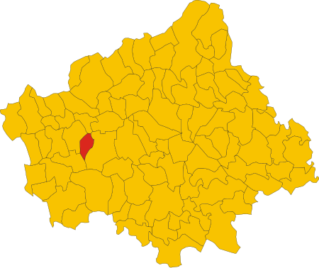
Caerano di San Marco

Caerano di San Marco, or simply Caerano, is a town with 7,813 inhabitants in the province of Treviso. The territory is largely flat, with altitudes ranging from 91 m a.s.l. at 144 m. The landscape is characterized by the presence of a small relief, a natural continuation of Montello, known as Montelletto and locally as the Rive di Caerano located north-east of the municipality. The area is naturally poor in waterways but the water supply has been ensured, since ancient times, by a system of artificial canals deriving from the Piave. This is in particular the Canale di Caerano, better known as Brentella (Brentèa), a branch of the Brentella di Pederobba. Caerano San Marco borders the following municipalities: Altivole, Cornuda, Maser, Montebelluna.
Excerpt from the Wikipedia article Caerano di San Marco (License: CC BY-SA 3.0, Authors, Images).Caerano di San Marco
Via Primo Maggio, Fonte
Geographical coordinates (GPS) Address Nearby Places Show on map
Geographical coordinates (GPS)
| Latitude | Longitude |
|---|---|
| N 45.783333333333 ° | E 11.933333333333 ° |
Address
Via Primo Maggio
Via Primo Maggio
31011 Fonte
Veneto, Italy
Open on Google Maps


