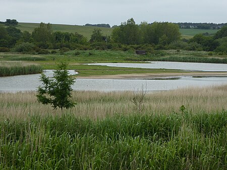
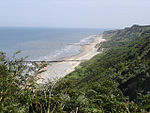
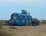
Blakeney Point (designated as Blakeney National Nature Reserve) is a national nature reserve situated near to the villages of Blakeney, Morston and Cley next the Sea on the north coast of Norfolk, England. Its main feature is a 6.4 km (4 mi) spit of shingle and sand dunes, but the reserve also includes salt marshes, tidal mudflats and reclaimed farmland. It has been managed by the National Trust since 1912, and lies within the North Norfolk Coast Site of Special Scientific Interest, which is additionally protected through Natura 2000, Special Protection Area (SPA), International Union for Conservation of Nature (IUCN) and Ramsar listings. The reserve is part of both an Area of Outstanding Natural Beauty (AONB), and a World Biosphere Reserve. The Point has been studied for more than a century, following pioneering ecological studies by botanist Francis Wall Oliver and a bird ringing programme initiated by ornithologist Emma Turner.
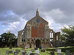
The area has a long history of human occupation; ruins of a medieval monastery and "Blakeney Chapel" (probably a domestic dwelling) are buried in the marshes. The towns sheltered by the shingle spit were once important harbours, but land reclamation schemes starting in the 17th century resulted in the silting up of the river channels. The reserve is important for breeding birds, especially terns, and its location makes it a major site for migrating birds in autumn. Up to 500 seals may gather at the end of the spit, and its sand and shingle hold a number of specialised invertebrates and plants, including the edible samphire, or "sea asparagus".
The many visitors who come to birdwatch, sail or for other outdoor recreations are important to the local economy, but the land-based activities jeopardize nesting birds and fragile habitats, especially the dunes. Some access restrictions on humans and dogs help to reduce the adverse effects, and trips to see the seals are usually undertaken by boat. The spit is a dynamic structure, gradually moving towards the coast and extending to the west. Land is lost to the sea as the spit rolls forward. The River Glaven can become blocked by the advancing shingle and cause flooding of Cley village, Cley Marshes nature reserve, and the environmentally important reclaimed grazing pastures, so the river has to be realigned every few decades.
