Shirland
Derbyshire geography stubsGrey family residencesNorth East Derbyshire DistrictTowns and villages of the Peak DistrictVillages in Derbyshire

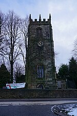
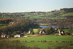
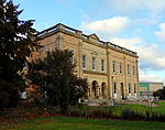
Shirland is a former pit village in Derbyshire, England. Together with the neighbouring villages of Higham, Stretton and Stonebroom, it forms part of the civil parish of Shirland and Higham, which had a population of 4,802 at the 2011 Census. The River Amber flows through the parish.
Excerpt from the Wikipedia article Shirland (License: CC BY-SA 3.0, Authors, Images).Shirland
Burnside Avenue, North East Derbyshire Shirland and Higham CP
Geographical coordinates (GPS) Address Nearby Places Show on map
Geographical coordinates (GPS)
| Latitude | Longitude |
|---|---|
| N 53.121 ° | E -1.412 ° |
Address
Burnside Avenue
Burnside Avenue
DE55 6AE North East Derbyshire, Shirland and Higham CP
England, United Kingdom
Open on Google Maps


