Higham, Derbyshire
Derbyshire geography stubsNorth East Derbyshire DistrictTowns and villages of the Peak DistrictVillages in Derbyshire

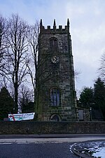
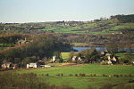
Higham is a small village in Derbyshire, England. It is on the B6013 and A61 roads. Nearby settlements include Shirland, Stretton, Alfreton and Clay Cross. It is in the civil parish of Shirland and Higham. The name Higham is of Saxon origin. The village has two public houses, the Crown Inn and the Greyhound. It does not have a church of its own, sharing St Leonard's church with neighbouring Shirland.
Excerpt from the Wikipedia article Higham, Derbyshire (License: CC BY-SA 3.0, Authors, Images).Higham, Derbyshire
Strettea Lane, North East Derbyshire Shirland and Higham CP
Geographical coordinates (GPS) Address Nearby Places Show on map
Geographical coordinates (GPS)
| Latitude | Longitude |
|---|---|
| N 53.127 ° | E -1.417 ° |
Address
Strettea Lane
DE55 6EH North East Derbyshire, Shirland and Higham CP
England, United Kingdom
Open on Google Maps


