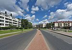
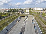
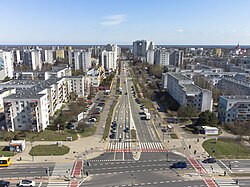
Płaskowickiej Street, Warsaw
Streets in WarsawUrsynów

Filipiny Płaskowickiej street (Polish: ulica Filipiny Płaskowickiej) is a thoroughfare which links the west and the east of Ursynów. It starts nearby the Nowoursynowska and crosses: Rosoła, Cynamonowa, Lanciego, Komisji Edukacji Narodowej, Dereniowa, Stryjeńskich, Pileckiego, Polskie Drogi and Roentgena. It has its end in the crossing with Puławska. Since 2017, the street is being rebuilt because of the construction project of the Expressway S2 including tunnel under Płaskowickiej.
Excerpt from the Wikipedia article Płaskowickiej Street, Warsaw (License: CC BY-SA 3.0, Authors, Images).Płaskowickiej Street, Warsaw
Stryjeńskich, Warsaw Ursynów
Geographical coordinates (GPS) Address Nearby Places Show on map
Geographical coordinates (GPS)
| Latitude | Longitude |
|---|---|
| N 52.1366 ° | E 21.0502 ° |
Address
Stryjeńskich 19
02-791 Warsaw, Ursynów
Masovian Voivodeship, Poland
Open on Google Maps
