Oriel Street
Oriel College, OxfordStreets in OxfordUse British English from December 2016

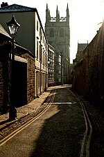
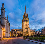
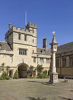
Oriel Street is a narrow but historic street running between the High Street to the north and Oriel Square to the south in central Oxford, England. The street is now blocked off to traffic by bollards at the High Street end. It passes between the main site of Oriel College (hence its name) to the east and Oriel's newer "Island" site to the west. At the High Street end to the east is the 1911 Rhodes Building, named after the former Oriel student Cecil Rhodes, who went on to colonize the African state of Rhodesia (also named after him).
Excerpt from the Wikipedia article Oriel Street (License: CC BY-SA 3.0, Authors, Images).Oriel Street
Magpie Lane, Oxford City Centre
Geographical coordinates (GPS) Address Nearby Places Show on map
Geographical coordinates (GPS)
| Latitude | Longitude |
|---|---|
| N 51.751944444444 ° | E -1.2538888888889 ° |
Address
Oriel College
Magpie Lane
OX1 4ES Oxford, City Centre
England, United Kingdom
Open on Google Maps


