Utrecht (province)

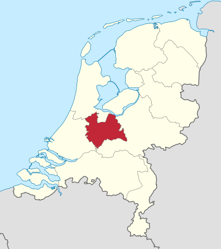
Utrecht (Dutch pronunciation: [ˈytrɛxt] (listen)), officially the Province of Utrecht (Dutch: Provincie Utrecht), is a province of the Netherlands. It is located in the centre of the country, bordering the Eemmeer in the north-east, the province of Gelderland in the east and south-east, the province of South Holland in the west and south-west and the province of North Holland in the north-west and north. The province of Utrecht has a population of 1,353,596 as of November 2019. It has a land area of approximately 1,485 square kilometres (573 sq mi). Apart from its eponymous capital, major cities in the province are Amersfoort, Houten, Nieuwegein, Veenendaal, IJsselstein and Zeist. The busiest railway station in the Netherlands, Utrecht Centraal, is located in the province of Utrecht.
Excerpt from the Wikipedia article Utrecht (province) (License: CC BY-SA 3.0, Authors, Images).Utrecht (province)
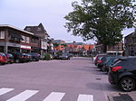
Utrechtseweg, De Bilt
Geographical coordinates (GPS) Address Nearby Places Show on map
Geographical coordinates (GPS)
| Latitude | Longitude |
|---|---|
| N 52.103333333333 ° | E 5.1791666666667 ° |
Address
Utrechtseweg
Utrechtseweg
3732 HL De Bilt
Utrecht, Netherlands
Open on Google Maps


