place

Bridgewater, South Australia

1857 establishments in AustraliaAC with 0 elementsAdelaide HillsSouth Australia geography stubsTowns in South Australia
Use Australian English from March 2013
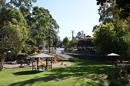
BridgewaterMill
BridgewaterMill

Bridgewater is a town in the Australian state of South Australia located in the Adelaide Hills to the south-east of the Adelaide city centre. It is the former end of the Adelaide-Bridgewater railway line; this route was closed in 1987. The railway was converted to standard gauge in 1995 and continues to be the main line from Adelaide to Melbourne, but no trains stop at the now demolished Bridgewater railway station. A portion of the Heysen walking trail runs through the town, as well as the Pioneer women's walking trail.

Excerpt from the Wikipedia article Bridgewater, South Australia (License: CC BY-SA 3.0, Authors, Images).

Bridgewater, South Australia
Mountford Avenue, Adelaide Hills Council

Geographical coordinates (GPS) Address Nearby Places
placeShow on map

Wikipedia: Bridgewater, South AustraliaContinue reading on Wikipedia

Geographical coordinates (GPS)

Latitude Longitude
N -35.016367 ° E 138.767995 °
placeShow on map

Address

Engelbrook Reserve (Unnamed (No.HA514) Heritage Agreement)

Mountford Avenue
5155 Adelaide Hills Council, Bridgewater
South Australia, Australia
mapOpen on Google Maps

BridgewaterMill
BridgewaterMill
Share experience

Nearby Places

Mylor Conservation Park

Mylor Conservation Park is a protected area located in the Australian state of South Australia in the suburb of Mylor in the Adelaide Hills state government region about 19 kilometres (12 mi) south-east of the state capital of Adelaide and about 1 kilometre (0.62 mi) north-east of the town of Mylor.The conservation park consists of land in Allotment 51 of Deposited Plan 46510 and Section 3322 in the cadastral unit of the Hundred of Noarlunga. It is located within land east of Strathalbyn Road and west of the watercourse of the Onkaparinga River, and is accessed via Whitehead Road. Part of the land was previously used as a recreational facility called the Mylor Recreation Centre.The Heysen Trail, the long distance walking trail, passes through the conservation park entering from the west via Whitehead Road and exiting in the north onto Hooper Road.The conservation park came into existence on 27 February 1997 by proclamation under the National Parks and Wildlife Act 1972 which also ensured the continuation of “existing rights of entry, prospecting, exploration or mining” provided by the Mining Act 1971. As of 2016, it covered an area of 45 hectares (110 acres).Vegetation in the southern part of the conservation park was surveyed in 2000 and subsequently described as consisting of an open forest of Eucalyptus baxteri and Eucalyptus obliqua over an understorey of Lepidosperma semiteres, Hakea carinata, Platylobium obtusangulum, Hakea rostrate, and Daviesia leptophylla.The conservation park is classified as an IUCN Category III protected area.