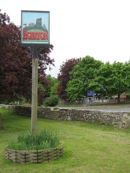
Egerton, Kent
Civil parishes in Ashford, KentVillages in KentVillages in the Borough of Ashford

Egerton is a village and civil parish in the Ashford District of Kent, England. The village is on the Greensand Ridge 9 miles (14.4 km) north of Ashford and stretches three miles south into a lower plain towards the West Stour. The parish is a relatively scattered rural one; the settlement of Stonebridge Green, adjacent to Egerton village centre, is also in the parish.
Excerpt from the Wikipedia article Egerton, Kent (License: CC BY-SA 3.0, Authors, Images).Egerton, Kent
Stevens Close,
Geographical coordinates (GPS) Address Nearby Places Show on map
Geographical coordinates (GPS)
| Latitude | Longitude |
|---|---|
| N 51.194 ° | E 0.73 ° |
Address
Stevens Close
Stevens Close
TN27 9DZ , Egerton
England, United Kingdom
Open on Google Maps


