Gooise Meren

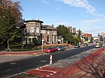
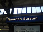
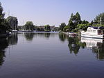
Gooise Meren (pronounced [ˈɣoːi̯sə ˈmeːrə(n)]) is a municipality in the province of North Holland, the Netherlands. It has about 56,000 inhabitants and covers an area of about 77 km2 (30 sq mi). Gooise Meren has existed since 2016. It is a merger of the former municipalities of Bussum, Muiden, Muiderberg and Naarden. Eastern (Naarden area) and southern part (Bussum area) of the municipality lie within the Gooi region, western part (Muiden area) lies within the Vechtstreek region. The very northern part of the Utrecht Hill Ridge, lake Naardermeer and artificial island Pampus are situated within its boundaries. Gooise Meren borders in the northwest on lake IJmeer, in the northeast on lake Gooimeer. The Vecht river empties into the IJmeer at Muiden, and also the northern end of the former Hollandic Water Line ends in Muiden.
Excerpt from the Wikipedia article Gooise Meren (License: CC BY-SA 3.0, Authors, Images).Gooise Meren
Vincent van Goghlaan, Gooise Meren
Geographical coordinates (GPS) Address Nearby Places Show on map
Geographical coordinates (GPS)
| Latitude | Longitude |
|---|---|
| N 52.2833 ° | E 5.1667 ° |
Address
Vincent van Goghlaan 1
1412 DD Gooise Meren
North Holland, Netherlands
Open on Google Maps


