Lady Carrington Drive
Audley, New South WalesHistorical roads of New South WalesUse Australian English from November 2015

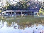
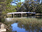
Lady Carrington Drive is a designated scenic bicycle trail located in the Royal National Park that runs from Audley to the southern precinct of the park east of Waterfall, alongside the Hacking River. Opened in 1886, the 10-kilometer long trail was the first scenic route to be completed in the Royal National Park, seven years after the park was officially declared. It initially served as a carriageway, although traffic on the road is closed, and the trail now serves as a bike and walking trail. The route bypasses many scenic points along the Hacking River, including Gibraltar Rock and Palona Cave.
Excerpt from the Wikipedia article Lady Carrington Drive (License: CC BY-SA 3.0, Authors, Images).Lady Carrington Drive
Lady Carrington Drive, Sutherland Shire Council
Geographical coordinates (GPS) Address External links Nearby Places Show on map
Geographical coordinates (GPS)
| Latitude | Longitude |
|---|---|
| N -34.114305555556 ° | E 151.04663888889 ° |
Address
Lady Carrington Drive
Lady Carrington Drive
2232 Sutherland Shire Council, Royal National Park
New South Wales, Australia
Open on Google Maps


