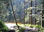
Hoher Ochsenkopf
IUCN Category IVMountains and hills of Baden-WürttembergMountains and hills of the Black ForestNature reserves in Baden-WürttembergOne-thousanders of Germany ... and 1 more
Rastatt (district)
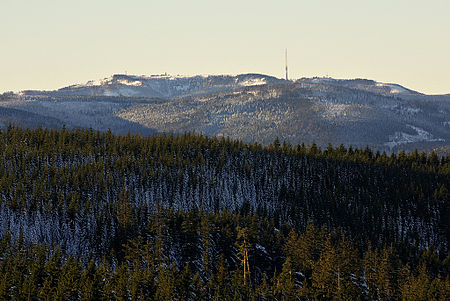
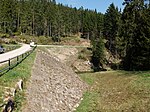
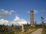
The Hoher Ochsenkopf ("High Ochsenkopf", literally "High Oxen Peak") is a mountain in the Northern Black Forest in the municipality of Forbach in south Germany. At 1,054.5 m above sea level (NHN) it is the highest point in Forbach and also in the county of Rastatt. The mountain, whose domed summit or kuppe was already a nature reserve lies in the Black Forest National Park which was founded in 2014. Its name (which means "high oxen-peak") recalls its former use as wood pasture.
Excerpt from the Wikipedia article Hoher Ochsenkopf (License: CC BY-SA 3.0, Authors, Images).Hoher Ochsenkopf
Ochsenkopfwegle,
Geographical coordinates (GPS) Address Nearby Places Show on map
Geographical coordinates (GPS)
| Latitude | Longitude |
|---|---|
| N 48.64333 ° | E 8.26889 ° |
Address
Ochsenkopfturm
Ochsenkopfwegle
76596
Baden-Württemberg, Germany
Open on Google Maps
