Hochkopf (Northern Black Forest)
Mountains and hills of Baden-WürttembergMountains and hills of the Black ForestOne-thousanders of GermanyRastatt (district)

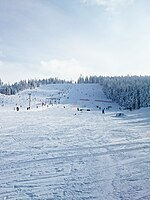
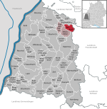
The Hochkopf is a mountain in the county of Rastatt in the Black Forest in Germany with height of 1,038.3 m above sea level (NHN). It is located northeast of the nearby Hornisgrinde, the highest mountain of the Northern Black Forest. About 700 metres away to the north, as part of the same mountain ridge, is the Pfrimmackerkopf (1,035.7 m above NHN). The plateau with its semi-protected forest or Schonwald, is a grinde, an open highland landscape typical of the Northern Black Forest, and is part of the Bühlertal conservation area.
Excerpt from the Wikipedia article Hochkopf (Northern Black Forest) (License: CC BY-SA 3.0, Authors, Images).Hochkopf (Northern Black Forest)
Mannheimer Weg, Vereinbarte Verwaltungsgemeinschaft Bühl
Geographical coordinates (GPS) Address Nearby Places Show on map
Geographical coordinates (GPS)
| Latitude | Longitude |
|---|---|
| N 48.63583 ° | E 8.20861 ° |
Address
Mannheimer Weg
77815 Vereinbarte Verwaltungsgemeinschaft Bühl (Bühl)
Baden-Württemberg, Germany
Open on Google Maps
