Wapse
Drenthe geography stubsPopulated places in DrentheWesterveld

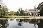
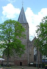
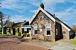
Wapse is a village in the Dutch province of Drenthe. It is a part of the municipality of Westerveld, and lies about 21 km northwest of Hoogeveen. The village was first mentioned in 1384 as "Johanni de Wapse". The etymology is unknown. Wapse is a circular esdorp from the Early Middle Ages. There used to be five hamlets around the central communal pasture.Wapse was home to 252 people in 1840. In 1897, a cooperative dairy factory was founded in Wapse. In 2016, the village school was scheduled to be closed due to lack of students, however protests have prevented its closure.
Excerpt from the Wikipedia article Wapse (License: CC BY-SA 3.0, Authors, Images).Wapse
Landweg, Westerveld
Geographical coordinates (GPS) Address Nearby Places Show on map
Geographical coordinates (GPS)
| Latitude | Longitude |
|---|---|
| N 52.866666666667 ° | E 6.2666666666667 ° |
Address
Landweg
Landweg
7983 LK Westerveld
Drenthe, Netherlands
Open on Google Maps


