Achterberg
Populated places in Utrecht (province)RhenenUtrecht (province) geography stubs

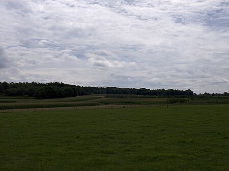
Achterberg is a village in the Dutch province of Utrecht. It is part of the municipality of Rhenen and it lies about 5 km west of Wageningen. The village was first mentioned in 1417 as Achterbergh, and means "(settlement) behind the hill". Achterberg developed as an esdorp on the northern flank of a hill near castle Ter Horst. The castle was built in 1160 and demolished in 1528. In 1840, Achterberg was home to 1,043 people. In 1940, the village was the scene of heavy fighting during the Battle of the Grebbeberg. The grist mill Crescendo was built in 1886 and destroyed in 1945 during a battle.
Excerpt from the Wikipedia article Achterberg (License: CC BY-SA 3.0, Authors, Images).Achterberg
Schloßstraße, Berlin Charlottenburg
Geographical coordinates (GPS) Address Phone number Website Nearby Places Show on map
Geographical coordinates (GPS)
| Latitude | Longitude |
|---|---|
| N 51.971666666667 ° | E 5.5855555555556 ° |
Address
Schule am Schloss
Schloßstraße 55A
14059 Berlin, Charlottenburg
Deutschland
Open on Google Maps


