Herne Hill
Areas of LondonCommons category link is locally definedDistricts of the London Borough of LambethDistricts of the London Borough of SouthwarkHerne Hill ... and 5 more
History of the London Borough of LambethHistory of the London Borough of SouthwarkStreets in the London Borough of LambethStreets in the London Borough of SouthwarkUse British English from January 2014

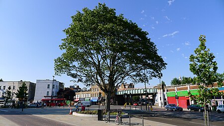
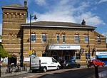
Herne Hill is a district in South London, approximately four miles from Charing Cross and bordered by Brixton, Camberwell, Dulwich, and Tulse Hill. It sits to the north and east of Brockwell Park and straddles the boundary between the boroughs of Lambeth and Southwark. There is a road of the same name in the area (which is part of the A215 and was formerly called Herne Hill Road), as well as a railway station.
Excerpt from the Wikipedia article Herne Hill (License: CC BY-SA 3.0, Authors, Images).Herne Hill
Elfindale Road, London Dulwich Village (London Borough of Southwark)
Geographical coordinates (GPS) Address Nearby Places Show on map
Geographical coordinates (GPS)
| Latitude | Longitude |
|---|---|
| N 51.4544 ° | E -0.0936 ° |
Address
Elfindale Road
SE24 9NE London, Dulwich Village (London Borough of Southwark)
England, United Kingdom
Open on Google Maps


