Verlautenheide
AachenPopulated places established in the 15th century

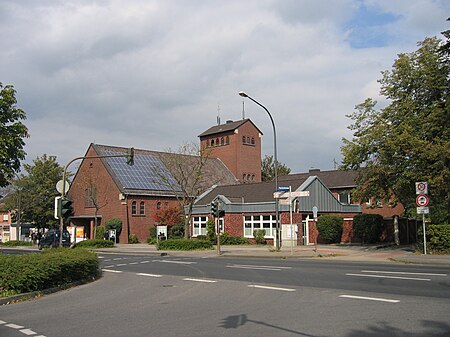
Verlautenheide is a rural section of northeast Aachen, with a population of around 3500. The community lies within the administrative district of Haaren. Its highest point is the Haarberg (around 240 m). The east end of the town is known as Quinx.
Excerpt from the Wikipedia article Verlautenheide (License: CC BY-SA 3.0, Authors, Images).Verlautenheide
Endstraße, Aachen Verlautenheide
Geographical coordinates (GPS) Address Nearby Places Show on map
Geographical coordinates (GPS)
| Latitude | Longitude |
|---|---|
| N 50.796388888889 ° | E 6.1555555555556 ° |
Address
Endstraße
52080 Aachen, Verlautenheide
North Rhine-Westphalia, Germany
Open on Google Maps


