Col de Sarenne
Landforms of IsèreMountain passes of Auvergne-Rhône-AlpesMountain passes of the Alps

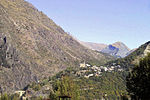
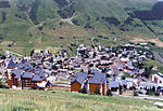
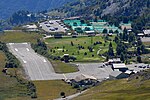
Col de Sarenne (1,999 m (6,558 ft)) is a mountain pass located in the Grandes Rousses massif, approximately 9 km (6 mi) east of Alpe d'Huez in the Isère department of France. The pass connects Alpe d'Huez with the villages of Mizoën and Le Freney-d'Oisans in the Romanche valley. The road over the pass was used on Stage 18 of the 2013 Tour de France bicycle race as this loops round to enable the cyclists to climb the Alpe d'Huez twice in the same stage.
Excerpt from the Wikipedia article Col de Sarenne (License: CC BY-SA 3.0, Authors, Images).Col de Sarenne
Route du Col de Sarenne, Clavans-en-Haut-Oisans
Geographical coordinates (GPS) Address Nearby Places Show on map
Geographical coordinates (GPS)
| Latitude | Longitude |
|---|---|
| N 45.0875 ° | E 6.1491666666667 ° |
Address
Route du Col de Sarenne
Route du Col de Sarenne
38142 Clavans-en-Haut-Oisans
Auvergne-Rhône-Alpes, France
Open on Google Maps


