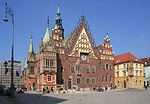
The Market Square, Wrocław (Polish: Rynek we Wrocławiu, German: Großer Ring zu Breslau) is a medieval market square in Wrocław, in southwestern Poland. The square is rectangular with the dimensions 213 by 178 metres (699 ft × 584 ft) and now serves as a pedestrian zone. It is one of the largest market squares in Europe, with the largest two city halls in the country.
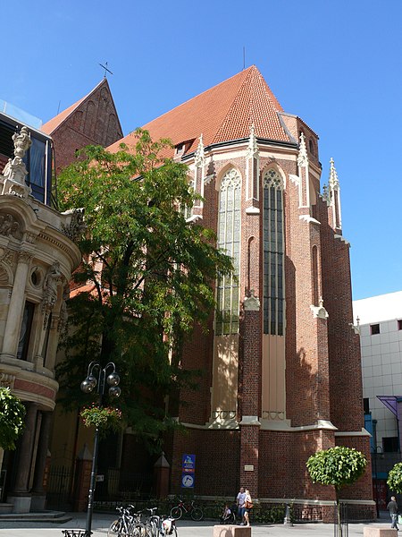
The buildings around the square are built according to different styles: the middle part (German: Tritt) of the ring is occupied by a block of buildings consisting of the Old City Hall, the New City Hall as well as numerous citizens' houses. The market square is an urban ensemble with the two diagonally contiguous areas, the Salt Market and the square in front of St. Elisabeth's Church. Eleven streets lead to the market: two to each corner, two narrow lanes and an opened outside square, Kurzy Targ "Chicken Market".
The market was founded according to Magdeburg law as early as the rule of Polish Duke Henry I the Bearded between 1214 and 1232. Over time, the patricians' houses appeared and by the middle of the 14th century they had formed a closed construction with the limits of the plots defined.
In the 19th century the square was connected to the tram lines, at first a horse-drawn system, but after 1892 electric.
During World War II, the market square was damaged, however, most of the buildings remained intact and were carefully restored.
Through to the end of the 1970s, vehicles were able to drive through along an east–west axis. Between 1996 and 2000 the square was resurfaced, while the east side, the last to be accessible to cars, was pedestrianised.
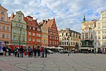
There are now 60 numbered plots on the market square, with some buildings occupying several. The limits of the plots often follow lines different from those first laid out since estates were often merged and divided in the late Middle Ages. Each property has a traditional name, usually associated with the coat of arms visible on the facade or related to the history of the house itself, for instance Under the Griffins, Under the Blue Sun and Old Town Hall (tenement house, which collects the city council before the construction of the first town hall; now there is a McDonald).
