West Peterborough, New Hampshire
New Hampshire geography stubsUnincorporated communities in Hillsborough County, New HampshireUnincorporated communities in New Hampshire

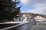
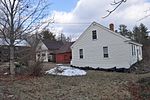
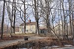
West Peterborough is an unincorporated community in the town of Peterborough in Hillsborough County, New Hampshire, United States. It is located along Nubanusit Brook in the western part of the town. Union Street leads 2 miles (3 km) east to the Peterborough town center and 0.6 miles (1.0 km) south to New Hampshire Route 101, a highway connecting Keene to the west with Milford to the east. West Peterborough has a separate ZIP code (03468) from the rest of Peterborough. The community's population, however, is included in the Peterborough census-designated place, comprising the central settled area of the town.
Excerpt from the Wikipedia article West Peterborough, New Hampshire (License: CC BY-SA 3.0, Authors, Images).West Peterborough, New Hampshire
Union Street,
Geographical coordinates (GPS) Address Nearby Places Show on map
Geographical coordinates (GPS)
| Latitude | Longitude |
|---|---|
| N 42.886666666667 ° | E -71.984722222222 ° |
Address
Union Street
Union Street
03468
New Hampshire, United States
Open on Google Maps


